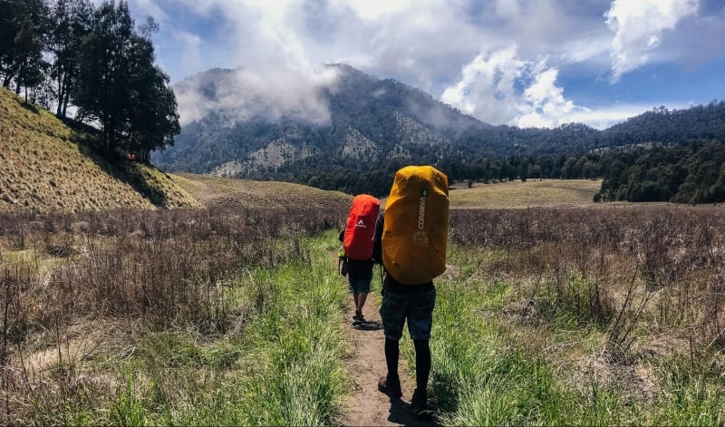
When researching about hikes and volcanoes in Indonesia, it is almost guaranteed that you’ll come across its two iconic and probably most-visited volcanoes in Indonesia: i.e. Mount Bromo and Ijen Crater. Why squeeze with the crowd when you can climb a lesser known volcano with equally, if not even more amazing views?
Situated along the Pacific Ring of Fire, Indonesia is a country that boasts of volcanoes begging to be hiked. I went on a mission to explore these peaks and experienced the wonder of Indonesian peaks that many hikers are missing out on. Many of these volcanoes are not the typical touristy hotspots, offering an authentic hiking experience without compromising the views rewarded at the top.
Though it is practically impossible to rank the hikes based on the experience as each of these volcanoes provides a unique adventure, I managed to narrow down the list to 5 of my personal favourites that I believe you should try. Without boring you further, here are 5 hikes in Indonesia that are not your Number 1 Mountain to Climb in Indonesia!
1. Mount Semeru
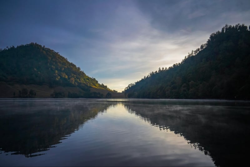
Mount Semeru is the tallest mountain on the Javanese Island of Indonesia, standing at 3676 metres above sea level. At such a high altitude, you can imagine the views to be quite breathtaking (sometimes literally – remember to have proper acclimatization training). That is not all from this gigantic volcano though – the entire hike to the summit is filled with unique experiences and extraordinary landscapes!
One of the most popular section of the hike is campsite one about midway through the hike, otherwise popularly known as “Rakum” by locals. The campsite is located along the Ranu Kumbolo (thus “Rakum”) lake, a mountainous body of water that is perfect for your next instagram post.
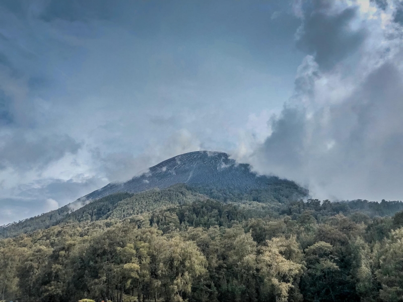
As if waking up to such a beautiful lake isn’t enough, the other sections of the hike are also packed with unique features! Enroute to the second campsite, a field of edelweiss flower awaits as you continue your hike towards the highest point of Java Island. The summit of Mount Semeru features an active crater, which periodically spews out smoke every 20 – 30 minutes.
How long is the hike? Hiking Mount Semeru would typically take 3 days, including two nights of camping. Some experienced hikers would attempt to complete it in 2 days, which is doable but not encouraged. Why would you not spend extra nights in a place so beautiful? The only regret I have of climbing Mount Semeru myself is not spending enough time in the mountains!
The most important preparation to hike Mount Semeru is the pre-hike logistics required. Being part of a national park, all hikers are required to apply for permits to enter the conservation area. Other administrative matters to prepare includes medical letter from certified doctors indicating that you are healthy enough to attempt the hike, as well as photocopies of your identification documents.
Don’t be deterred by the logistics that you need to settle or the difficulty of the hike though – I promise you that it is worth it!
2. Mount Agung
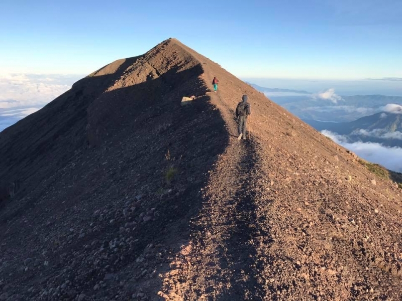
An active volcano responsible for one of the most devastating eruptions in Indonesia history, Mount Agung is a sacred mountain among the Bbalinese. Though it is the highest mountain on the island, it is less visited as compared to nearby Mount Batur, which means you can enjoy a quieter summit for a moment of serenity.
Similar to many other volcanic hikes in Indonesia, the trail begins with dense vegetation that slowly things out along the way until you are exposed above the treelines. The ridgeline prior to the summit is a good spot to pose for photos as you oversee neighbouring peaks and forests.
As the volcano stands at the far east of Bali island, there is a good view of nearby Mount Rinjani during a clear day. As the sunray pierces through the horizon with Mount Rinjani in the background, you best be sure that you have your camera ready!
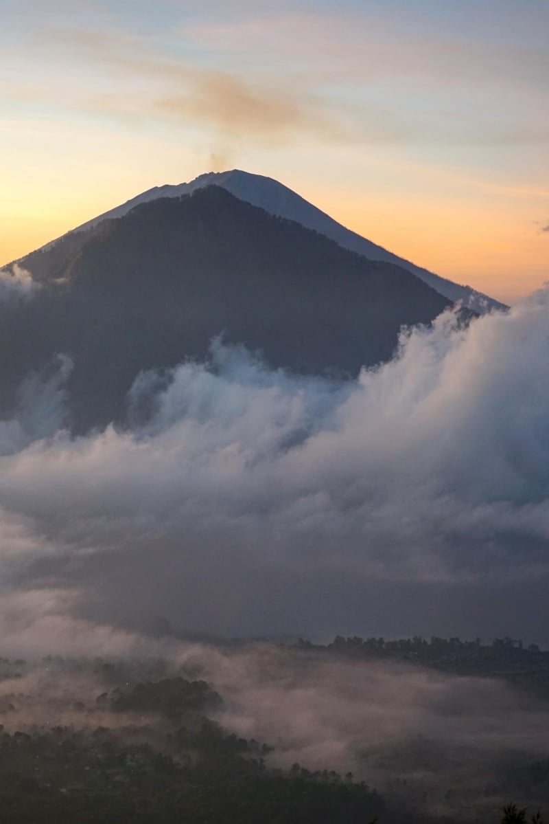
There are two routes to the summit of Mount Agung, via Pura Besakih or via Pura Pasar Agung. Both the routes offer challenges of their own – the Pura Besakih starts at a lower point thus a longer distance to cover and more elevation gain in the process, while the Pura Pasar Agung starts at a higher point but the steeper section near the top means scrambling up and basic technical climbing skills are required.
How long will the hike take? Regardless of the routes taken, it would be a strenuous 12 hours of hiking up to the summit and back to the starting point. Most hikers start in the night to reach the summit in time for sunrise, which means staying up and hiking through the night. Don’t repeat the mistake I made – remember to plan your schedule ahead of time to have plenty of rest before and after the hike!
3. Mount Lawu
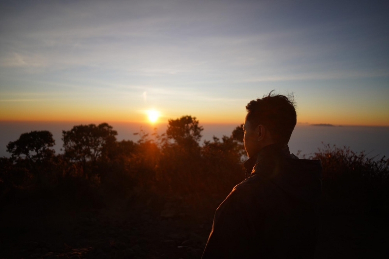
Mount Lawu is a large stratovolcano spanning across two different provinces – Central Java and East Java. Yet another mountain considered to be sacred by the locals, Mount Lawu has histories dating back to the 15th Century.
With Hindu temples and palaces such Hargo Dumlah and ancient tombs situated on this sacred mountain, Mount Lawu is a spiritual destination among the local community. Local ceremonies often take place on Mount Lawu, such as worshipping and palukatan (meditating with water). If you are lucky enough to visit during the times of these spiritual celebrations, you get a first-hand experience to learn about the rich culture upheld by the locals for so many centuries!
The summit of Mount Lawu offers fantastic view across Eastern and Central Java, where prominent mountains like Mount Semeru and Mount Arjuno-Welirang are clearly visible.
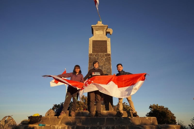
There are several routes to climb Mount Lawu from both provinces – some of the routes are shorter but with a steeper ascend, while the others are longer trails with a gradual ascend. Each of these trails however, offers a different experience and you will have to explore all of the routes to truly experience the mountain.
If you do not have time to explore all the routes or wish to get the most out of one trip, one way is to ascend by one route and descend through another.
Tip: I would highly recommend going up via the Cemoro Sewu trail and coming down through the Cemoro Kandang trail. The most interesting aspect of this trail is the fact that you will start from the Eastern Province of Java, and arrive back in Central Java. Don’t be mistaken though, because these two trailheads are walking distance to each other despite starting from the different provinces.
4. Mount Slamet
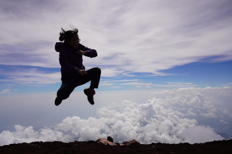
Ranked right after Mount Semeru in terms its height (on Java Island), Mount Slamet is also the highest mountain in Central Java. Though the mountain is quite a distance away from the cities with international flights, the experience of hiking up Mount Slamet will be worth the trip!
Standing on the summit of Mount Slamet at an altitude of 3428 metres above sea level, you will be standing above a sea of clouds! Looking further east from the summit, you can see Mount Sumbing and Mount Sindoro protruding above the clouds, and behind them Mount Merapi and Merbabu in the far distance.
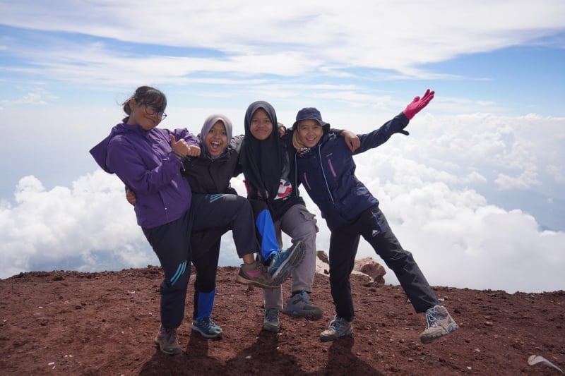
There are several trails that heads up to Mount Slamet, though Bambangan is probably the safest and best route by far. The trail via Bambangan takes you directly to the summit, and is the most popular route up the mountain so you can expect to meet other hikers along the way.
How long will the hike take? Hiking up and down Mount Slamet will usually take a 2-days climb including a night of camping, though some experienced climbers may attempt to do a “tek-tok” (a local term for heading up to the summit and down in a day’s hike).
Tip: Be warned though, for Mount Slamet is known to be extremely cold and windy especially nearing the top. At times, visibility can drop drastically so it is important to have an experienced hiker or somebody who knows the trail well with you.
5. Mount Raung
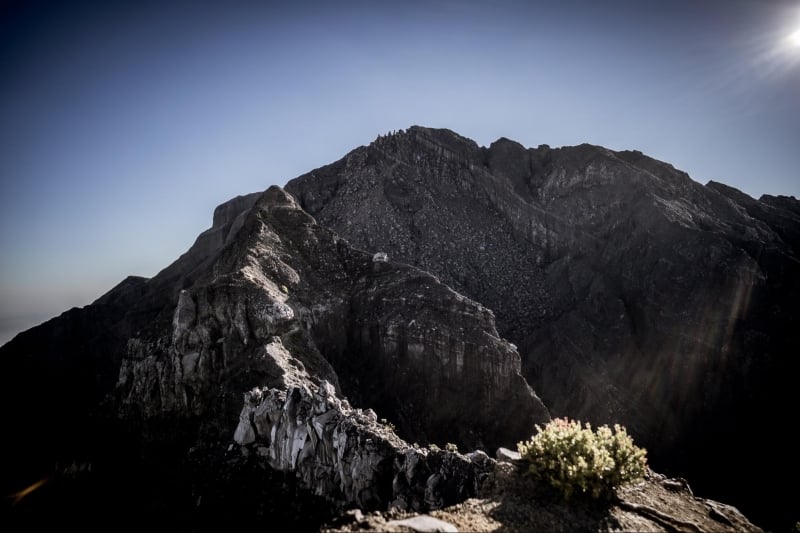
Known as the most extreme mountain of Java Island, Mount Raung is probably the least-climbed mountain across the island. Only the bravest dare to attempt Mount Raung and the hike is definitely not for beginners!
Despite being a challenging hike, Mount Raung provides a unique hiking experience that you may not find in any other of the mountains in Indonesia. Beginning on a trail through the dense vegetation, flora and fauna are aplenty in the lower section of the hike. As you go higher, the vegetation begins to thin out until you reach an exposed ridge with technical sections to overcome.
How long will the hike take? The hike will take a minimum of 3 days and 2 nights with long hours of hiking and climbing up an extremely steep trail. With no source of water along the trail and the need to camp for 2 nights in the mountains, the weight of your backpack will contribute to your exhaustion in climbing Mount Raung.
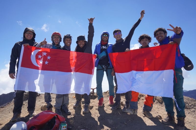
The entire exposed region at the top requires extra caution, but it also offers a view like no other mountain in Java. After navigating through this technical section, the summit of Mount Raung is a caldera spanning almost 2-Kilometers in diameter – the biggest across all Javanese mountains. The caldera is even visible from the plane when flying from Java towards Bali.
Tip: For such a challenging mountain like Mount Raung, it is compulsory to engage a local guide for your hike. If you are having trouble finding a certified guide for Mount Raung, simply head to the base camp of the mountain and they will arrange one for you. Rest assured that the local guides are seasoned climbers who are extremely familiar with the trail on Mount Raung – so it is important to listen to their instructions and warnings at each section of the climb.


